
Tap the square icon in the top corner to open this map in the Google Maps app and save it offline.
Most Barcelona maps show you pins. They don’t tell you the thing you actually need to know, which is that the city is small enough to walk but arranged in a way that punishes you for guessing.
I’ve lived here since 2010. This is Barcelona laid out the way I’d explain it to a friend who’s just landed — which part is which, what’s in it, how far apart things really are, and which areas aren’t worth your afternoon.
The map is at the top of the page. Save it to your phone and it works offline in Google Maps. Everything below explains what you’re looking at.
Where to stay in Barcelona — our three picks
Generator Barcelona – private family rooms at hostel prices, five minutes from Passeig de Gràcia and metro Diagonal (L3/L5). Rooms are small and the bar downstairs is lively, so ask for a higher floor.
H10 Cubik – on the edge of the Gothic Quarter, with the Atic rooftop terrace and pool. You can walk to the cathedral, the beach and the Born from the door, which saves you metro tickets all week.
The Cotton House Hotel, Autograph Collection – the old cotton guild building on Gran Via, a ten-minute walk from Casa Batlló and the Sagrada Família side of Eixample. Quiet, grown-up, and the rooftop is the reason to book it.
Affiliate links: if you book through them we may earn a small commission, at no extra cost to you.
The one thing to understand first
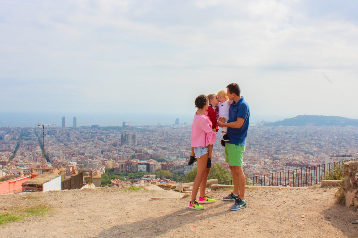
Barcelona runs uphill from the sea. The water is at the bottom. The mountain, Tibidabo, is at the top. Everything else sits between the two, and almost every “is it far?” question in this city is really a question about how much of that slope you’re about to climb.
The flat part — the old city and the seafront — you walk. The upper part — Park Güell, the Bunkers, Tibidabo — you take transport to, even when the map makes it look walkable. A 3 km walk on the flat is 35 minutes. The same 3 km up to Park Güell is an hour and a rebellion.
Two more landmarks that orient everything:
- Plaça Catalunya is the middle. Old city below it, modern city above it. If you’re lost, head here.
- La Rambla runs from Plaça Catalunya down to the sea. It divides the old city into two halves — Gothic Quarter on the left as you walk down, Raval on the right.

Ciutat Vella — the old city
Flat · walkable · where most visitors spend day one
Four neighbourhoods squeezed between Plaça Catalunya and the sea. This is the medieval city, and it’s the part that looks like the photographs.
Gothic Quarter (Barri Gòtic)
Narrow stone streets, the cathedral, Plaça Reial, Plaça Sant Felip Neri. The most atmospheric part of Barcelona and the most crowded — go early, before ten, and it’s a completely different place.
In it: Barcelona Cathedral · Plaça Reial · the Roman walls · Plaça Sant Jaume · the MUHBA city history museum
El Born (La Ribera)
East of the Gothic Quarter, across Via Laietana. Same medieval streets, a third fewer tourists, better food and better shops. If someone asks me where to eat in the old city, this is the answer.
In it: Museu Picasso · Santa Maria del Mar · the Born Centre · Museu de la Xocolata · Parc de la Ciutadella on its eastern edge
El Raval
West of La Rambla. Barcelona’s most mixed neighbourhood — genuinely interesting, genuinely rough in parts. The upper half near MACBA and the Boqueria is fine and worth walking. The lower half towards the port is where most visitors’ bad stories come from. Not dangerous in daylight; not somewhere to wander at two in the morning with your phone out.
In it: La Boqueria market · MACBA · Palau Güell · Sant Pau del Camp
La Barceloneta
The old fishermen’s quarter, now the closest beach to the centre and the most crowded stretch of sand in the city. Worth walking through for the grid of tiny streets; not the beach I’d send you to. More on that below.

L’Eixample — the grid
Flat · the modernist buildings · where most good hotels are
Above Plaça Catalunya, the city suddenly becomes a perfect grid of octagonal blocks. This is the 19th-century expansion, and it’s where Gaudí and his contemporaries built.
Two halves worth separating:
- Dreta de l’Eixample (right side, around Passeig de Gràcia) — the modernist buildings, the expensive shops, most of the good hotels.
- Esquerra de l’Eixample (left side) — residential, cheaper, no sights, and a perfectly sensible place to stay if you want to pay less and walk five minutes more.
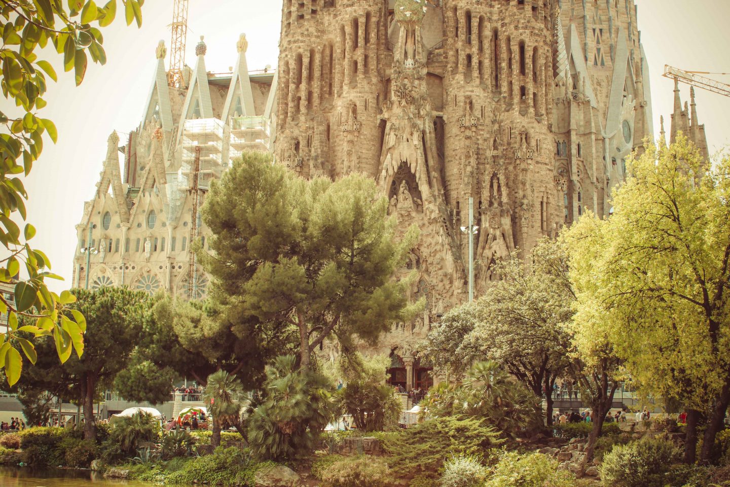
In it: Casa Batlló · Casa Milà (La Pedrera) · Sagrada Família · Hospital de Sant Pau · Biblioteca Arús
The Sagrada Família is in Eixample but a good 20 minutes east of Passeig de Gràcia on foot. People underestimate this constantly.
Gràcia — the village
Slight slope · small squares · almost no tourists after dark
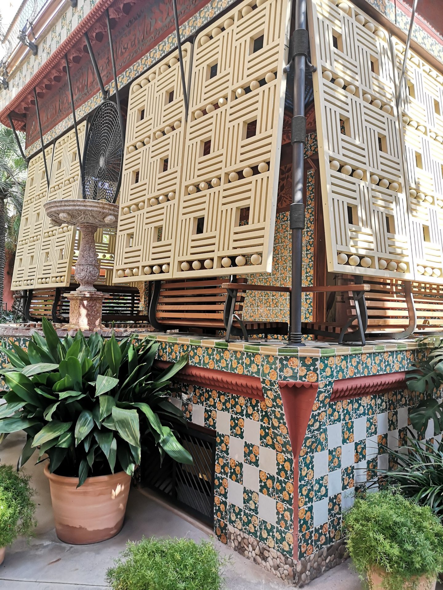
Gràcia was a separate town until 1897 and still behaves like one. Small squares with terraces, independent shops, families out at ten at night. There is not much to “see” here, which is exactly why it’s worth an evening.
In it: Casa Vicens · Plaça del Sol · Plaça de la Vila de Gràcia · the bottom entrance to Park Güell
Montjuïc — the museum hill
Steep · a half-day on its own · reachable by funicular or cable car
The hill behind Plaça Espanya, on the port side. Built up for the 1929 Exposition and the 1992 Olympics, and now the part of Barcelona with the most to do per square metre and the fewest queues.
In it: MNAC · Poble Espanyol · Fundació Joan Miró · Montjuïc Castle · the Magic Fountain · the Olympic stadium · the botanical gardens
Don’t try to walk up from Plaça Espanya with children. Take the funicular from Paral·lel metro, or the escalators beside MNAC.
The upper city — Park Güell, the Bunkers, Tibidabo
Steep · take transport · the views
Three separate hills, none of them near each other, all of them a mistake to walk to.
- Park Güell — above Gràcia. The Monumental Zone is ticketed and timed; the rest of the park is free and has the better views.
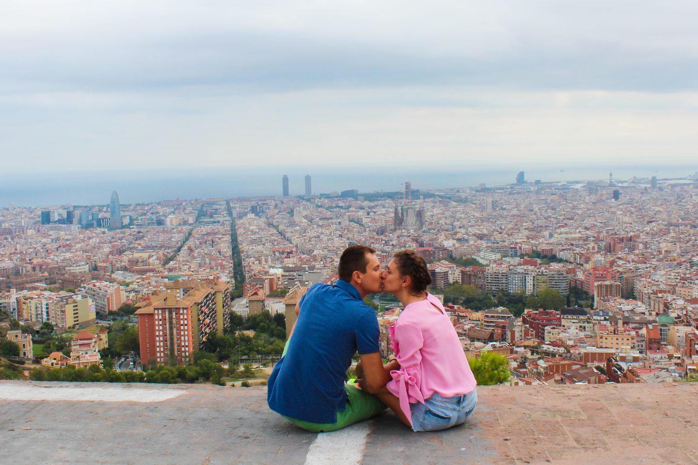
- Bunkers del Carmel — above El Carmel. Free, and the best panorama in the city. Check the closing time before you go, it’s earlier than you think.
- Tibidabo — the mountain at the top with the church and the old funfair. A day out, not a stop.
- Monestir de Pedralbes
The beaches, in order
Parts of Barcelona you can skip
Said kindly, and from having watched a lot of people spend a morning on each of these:
- Port Vell shopping centre — a mall with a sea view.
- The lower half of La Rambla — walk it once, don’t eat or shop on it.
- Diagonal Mar / Fòrum — unless you’re going to Museu Blau, which is worth the trip, or the beaches out there.
- Camp Nou, if football isn’t your thing and you’re short on days. It’s a long way out for a stadium.
How far apart things really are
The single most useful table on this page. Times are a steady adult walking pace on the flat — add half again with children under ten, and add more for anything marked uphill.
| From → To | Distance | On foot |
|---|---|---|
| Plaça Catalunya → Cathedral | 600 m | 8 min |
| Plaça Catalunya → Casa Batlló | 750 m | 10 min |
| Casa Batlló → Casa Milà | 450 m | 6 min |
| Casa Batlló → Sagrada Família | 1.6 km | 20 min |
| Plaça Catalunya → Sagrada Família | 2.4 km | 30 min |
| Plaça Catalunya → Columbus monument (down La Rambla) | 1.2 km | 15 min |
| Cathedral → Museu Picasso | 700 m | 10 min |
| Museu Picasso → Parc de la Ciutadella | 550 m | 8 min |
| Ciutadella | Vila Olímpica metro → Barcelona Zoo entrance | 400 m | 5 min |
| Plaça Espanya → MNAC | 800 m | 12 min, uphill |
| MNAC → Poble Espanyol | 800 m | 12 min |
| Sagrada Família → Park Güell | 2.4 km | 35 min, steeply uphill |
| Barceloneta → Bogatell beach | 2 km | 25 min along the sand |
Two of these are the ones people get wrong: Sagrada Família to Park Güell looks like a walk and isn’t, and the zoo entrance is five minutes from the metro, not the twenty most people budget.
Full guide to Barcelona metro tickets and transport here — including why the shareable T-familiar at €11.50 beats the T-casual at €13.00 for any group.
Where to stay in Barcelona with kids
How I’d use this map on a short trip
- One day: Eixample in the morning, old city in the afternoon, beach at the end. Don’t cross the city more than twice.
- Two days: add Montjuïc as a whole half-day.
- Three days: add the upper city — one hill, not three.
- Four or more: a day trip out of the city.
The pattern that works: one area per half-day. The pattern that ruins trips: three pins that looked close together on a map.
Frequently asked questions
What are the main parts of Barcelona?
Ciutat Vella (the old city, made up of the Gothic Quarter, El Born, El Raval and Barceloneta), L’Eixample (the 19th-century grid with most of the modernist buildings), Gràcia (a former village above Eixample), Montjuïc (the museum hill by the port) and the upper city (Park Güell, the Bunkers, Tibidabo). The city runs uphill from the sea, and that slope decides what is walkable.
Is Barcelona walkable?
The flat part is — the old city, Eixample and the seafront are all walkable, and Plaça Catalunya to the Sagrada Família is about 30 minutes. The upper city is not: Park Güell, the Bunkers del Carmel and Tibidabo all involve a serious climb and are better reached by metro or bus.
How far is the Sagrada Família from Park Güell?
About 2.4 km, which looks like a 35-minute walk and is steeply uphill most of the way. Take the metro or bus, especially with children.
Which part of Barcelona should I stay in?
Eixample for the best mix of location, quiet and hotel choice; El Born if you want the old city with fewer crowds than the Gothic Quarter; Gràcia if you want a neighbourhood rather than a sight. The lower Raval and the streets right off La Rambla are the ones to avoid.
Which Barcelona beach is best?
Bogatell for most people — roughly 25 minutes along the sand from Barceloneta, with far more space, better facilities and a local crowd. Nova Icària is the easiest with small children. Barceloneta is the closest and by far the most crowded.
Can I download this Barcelona map to use offline?
Yes. Tap the square icon in the corner of the map to open it in the Google Maps app, then save it to your own maps. It will work without data once you have opened it on wifi.
